|
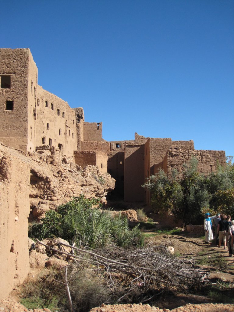 |
| The kasbah near Douar Ait Boujane | |
| Latitude: N 31°32'0,97" | Longitude: W 5°32'58,78" | Altitude: 1319 metres | Location: Ichmarirn | City: Tineghir | State/Province: Souss-Massa-Drâa | Country: Marokko | Copyright: Ron Harkink | See map | |
| Total images: 20 | Help | |